CARTOGRAPHY WITH SHADED RELIEF
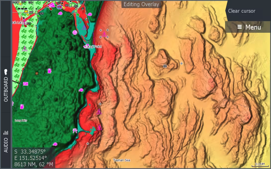
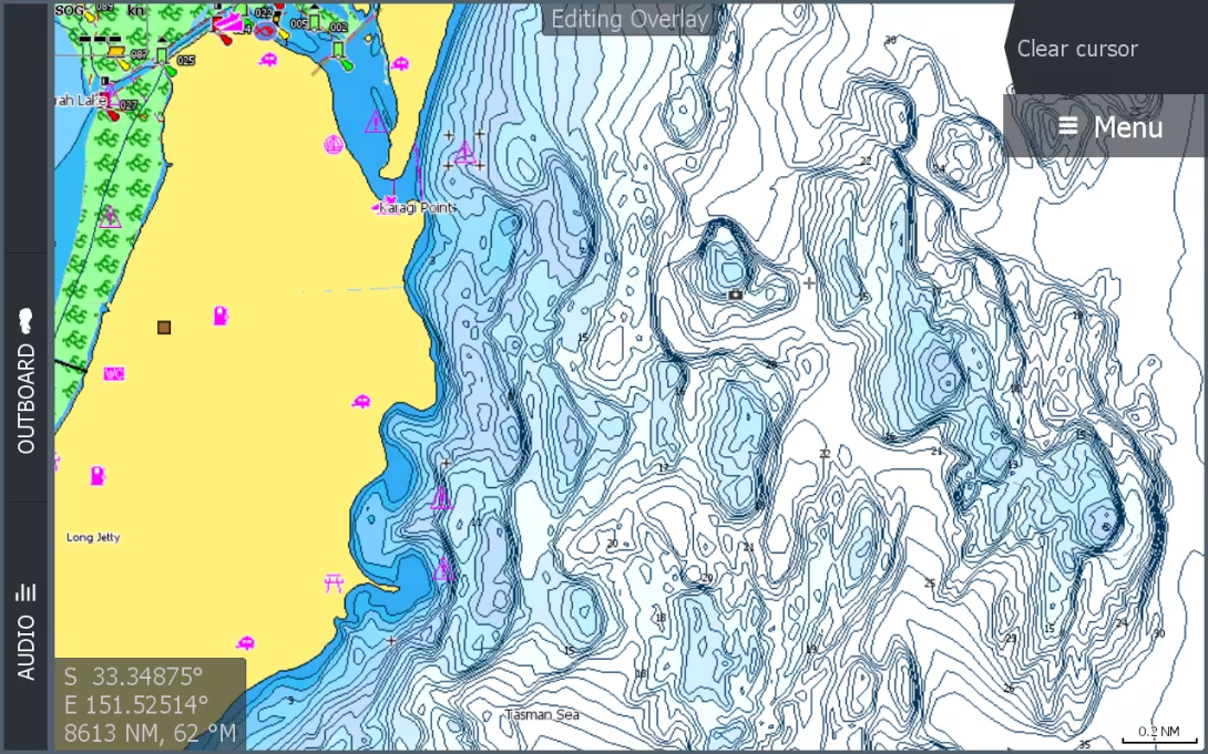
C-MAP, one of the leaders in digital marine cartography and chart cloud computing, is today launching a new range of simplified and redesigned cartography for Lowrance®, Simrad® and B&G® chartplotters with the introduction of C-MAP DISCOVER and REVEAL.
Image
Image
1
/
1

Published on 16/03/2021
By
Emmanuel van Deth
Issue:
176
Published:
Mar.
/
Apr.
2021
These new charts will replace the MAX-N+ range and provide superb, shaded relief for seabeds and inland waters, as well as all the basic features of C-MAP DISCOVER cartography, including full vector charts. C-MAP Reveal charts also offer dynamic raster charts: they take on the appearance of a traditional paper chart, with easy access to all chart objects and aerial photography that brings an extra level of detail with thousands of photos of marinas, harbors, coves and other remarkable navigational features. The overlay of satellite images on the REVEAL cartography provides a realistic reference and improves the understanding of the environment for coastal navigation if you find yourself in an unfamiliar location.
Price: € 129 ex-tax for the C-MAP DISCOVER range and € 199 ex-tax for the C-MAP REVEAL range.