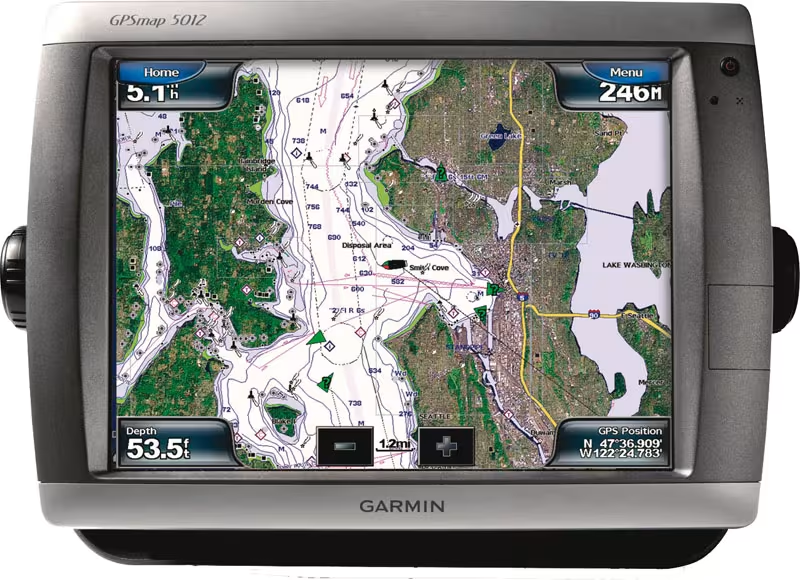
Each year we discover marine charts which are even more precise and offer new functionalities.
Image
1
/
1

Published on 06/02/2017
By
Jean-Christophe Guillaumin
Issue:
Previous issues
Published:
Jan.
/
Feb.
2013
This is the case this spring, with Garmin and its BlueChart g2 and g2 Vision marine charts, which have in addition been completely updated, and even offer integration of land data up to 5 miles from the coast, as well as the sailors' opinions...